Browse Study Programs
235 courses available
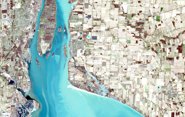
Remote Sensing & Modelling programs in Germany position international students at the technological frontier where satellites meet supercomputers, studying in a nation whose space agency DLR operates Earth observation missions while research institutes pioneer methods transforming pixels into planetary insights—creating specialists who extract knowledge from terabytes of satellite data to monitor everything from Amazon deforestation to urban heat islands in real-time. These highly technical English-taught degrees merge physics, computer science, and environmental science: students master electromagnetic theory understanding how different wavelengths reveal invisible information, develop algorithms processing radar data that penetrates clouds, create machine learning models classifying land use from hyperspectral imagery, validate satellite observations with ground truth data, and understand why German precision in calibration and validation makes their remote sensing data globally trusted—discovering that remote sensing means seeing Earth as integrated system from 800 kilometers above. Germany's remote sensing infrastructure provides unparalleled resources through massive investments: access to data from European Sentinel satellites monitoring the entire planet, supercomputing facilities processing petabytes of Earth observation data, research aircraft equipped with advanced sensors, ground validation networks ensuring accuracy, and partnerships with space industry from satellite manufacturers to data analytics companies—experiencing how remote sensing transforms from raw data to actionable intelligence. The interdisciplinary curriculum demands diverse technical skills: radiative transfer physics, image processing and pattern recognition, GIS integration for spatial analysis, time series modeling detecting environmental changes, and application domains from precision agriculture to disaster response.
Show more... English-taught programs
 Browse Study Programs
235 courses available
 German Students
  Other EU Students German Students German Students Other EU Students
 | Admission-restricted courses | Admission-free courses | |
|---|---|---|
| Master | No courses | 31 May |