



Browse Study Programs
2 courses available
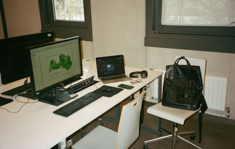

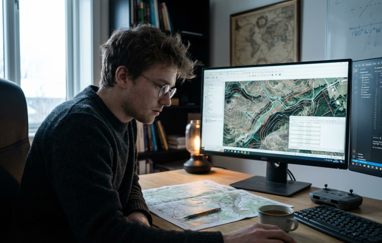
Geodesy & Geoinformatics programs in Germany position international students at the forefront of measuring, mapping, and managing our planet’s spatial data in a country globally recognized for precision engineering, advanced surveying systems, and innovative geospatial technologies. Building on Germany’s leadership in satellite navigation (home to key contributors to Europe’s Galileo system), remote sensing, and GIS-based urban planning, these English-taught programs combine classical geodesy—measuring Earth’s shape, gravity field, and rotation—with cutting-edge geoinformatics, including spatial database management, 3D city modeling, UAV-based photogrammetry, and geospatial AI applications. Students train with state-of-the-art equipment and software such as GNSS receivers, terrestrial laser scanners, ArcGIS, AutoCAD, and QGIS in university laboratories that mirror industry settings, while collaborating on real-world projects with government mapping agencies, engineering firms, and environmental organizations. Germany’s infrastructure expansion, renewable energy projects, and climate adaptation initiatives create abundant opportunities for internships and applied research, from monitoring structural deformation in high-speed rail networks to modeling flood risks in smart city planning.
Show more...Geodesy & Geoinformatics programs in Germany position international students at the forefront of measuring, mapping, and managing our planet’s spatial data in a country globally recognized for precision engineering, advanced surveying systems, and innovative geospatial technologies. Building on Germany’s leadership in satellite navigation (home to key contributors to Europe’s Galileo system), remote sensing, and GIS-based urban planning, these English-taught programs combine classical geodesy—measuring Earth’s shape, gravity field, and rotation—with cutting-edge geoinformatics, including spatial database management, 3D city modeling, UAV-based photogrammetry, and geospatial AI applications. Students train with state-of-the-art equipment and software such as GNSS receivers, terrestrial laser scanners, ArcGIS, AutoCAD, and QGIS in university laboratories that mirror industry settings, while collaborating on real-world projects with government mapping agencies, engineering firms, and environmental organizations. Germany’s infrastructure expansion, renewable energy projects, and climate adaptation initiatives create abundant opportunities for internships and applied research, from monitoring structural deformation in high-speed rail networks to modeling flood risks in smart city planning. Tuition fees often remain under €1,000 per year, and access to prestigious institutions like TU Munich, University of Bonn, and Stuttgart University of Applied Sciences ensures both academic excellence and strong industry connections. Graduates enter a high-demand job market with starting salaries of €45,000–€55,000, securing roles as geospatial analysts, cadastral surveyors, GIS developers, or geodata consultants in sectors ranging from urban development and environmental protection to navigation technology and disaster management. Combined with Germany’s 18-month post-study work visa, robust research ecosystem, and reputation for engineering precision, these programs offer an ideal launchpad for shaping the geospatial infrastructure that underpins the modern world.
Show less Related subjects
 Study programs
 English-taught programs
 Universities
 Intakes
 Full Subject Profile
Geodesy and Geoinformatics in Bonn
Browse Study Programs
2 courses available
 Type in your Subject, e.g., Economics
 QS Ranking

 Which degree?
 Choose degree
 German Students
 Other EU Students
 Non-EU Students German Students German Students Other EU Students
 Non-EU Students Non-EU Students
| Admission-restricted courses | Admission-free courses | |
|---|---|---|
| Master | No courses | No information |
| Bachelor | No courses | No information |
 Specific courses may have different application deadlines. Please always double-check the information individually.


 StudyFinder
 UniFinder

 Sort by: