Browse Study Programs
275 courses available
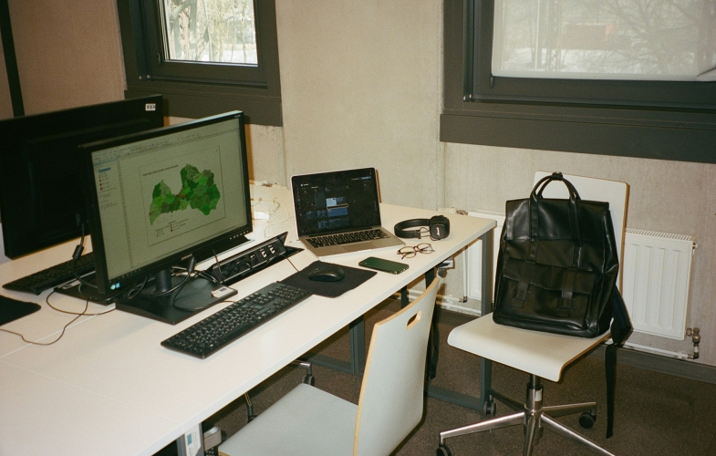
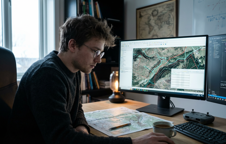
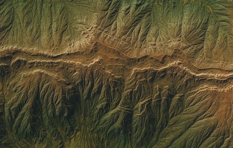
Geodesy & Geoinformatics programs in Germany position international students at the forefront of measuring, mapping, and managing our planet’s spatial data in a country globally recognized for precision engineering, advanced surveying systems, and innovative geospatial technologies. Building on Germany’s leadership in satellite navigation (home to key contributors to Europe’s Galileo system), remote sensing, and GIS-based urban planning, these English-taught programs combine classical geodesy—measuring Earth’s shape, gravity field, and rotation—with cutting-edge geoinformatics, including spatial database management, 3D city modeling, UAV-based photogrammetry, and geospatial AI applications. Students train with state-of-the-art equipment and software such as GNSS receivers, terrestrial laser scanners, ArcGIS, AutoCAD, and QGIS in university laboratories that mirror industry settings, while collaborating on real-world projects with government mapping agencies, engineering firms, and environmental organizations. Germany’s infrastructure expansion, renewable energy projects, and climate adaptation initiatives create abundant opportunities for internships and applied research, from monitoring structural deformation in high-speed rail networks to modeling flood risks in smart city planning.
Show more...Browse Study Programs
275 courses available
 German Students
  Other EU Students German Students German Students Other EU Students
 | Admission-restricted courses | Admission-free courses | |
|---|---|---|
| Master | No courses | No information |
| Bachelor | No courses | 15 July |