






Browse Study Programs
43 courses available
Geodesy and Geoinformatics: Tuition-free
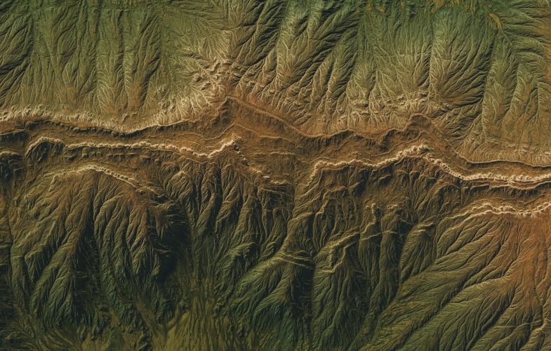
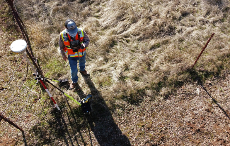
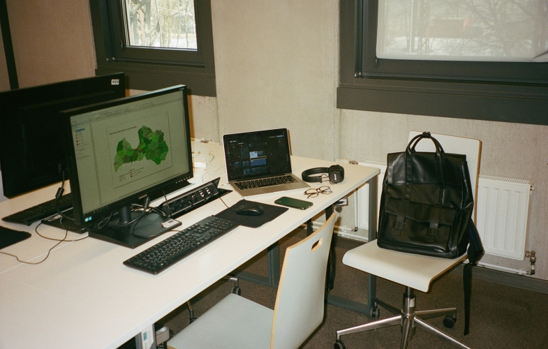
Geodesy & Geoinformatics programs in Germany position international students at the forefront of measuring, mapping, and managing our planet’s spatial data in a country globally recognized for precision engineering, advanced surveying systems, and innovative geospatial technologies. Building on Germany’s leadership in satellite navigation (home to key contributors to Europe’s Galileo system), remote sensing, and GIS-based urban planning, these English-taught programs combine classical geodesy—measuring Earth’s shape, gravity field, and rotation—with cutting-edge geoinformatics, including spatial database management, 3D city modeling, UAV-based photogrammetry, and geospatial AI applications. Students train with state-of-the-art equipment and software such as GNSS receivers, terrestrial laser scanners, ArcGIS, AutoCAD, and QGIS in university laboratories that mirror industry settings, while collaborating on real-world projects with government mapping agencies, engineering firms, and environmental organizations.
Show more... German Students
  Other EU Students
  Non-EU Students German Students
Disclaimer: You should use this text as a general guide, but it cannot serve as a guarantee. Keep in mind that there is no universal tuition fee & semester contribution that applies to all study programs and all student groups. Hence, we urge you to always individually double-check the specific fees of the specific study programs on their official websites.
 German Students Other EU Students Non-EU Students German Students
 Which degree?
 Choose degree
Browse Study Programs
43 courses available
 Type in your Subject, e.g., Economics German Students Other EU Students Non-EU Students German Students StudyFinder
  UniFinder
  back to top

 1 filer option selected
  Sort by:
  People Also Search
  You May Also Like Discover More German Students Other EU Students Non-EU Students German Students German Students Other EU Students Non-EU Students German Students
 Intake
  Language of Instruction
  Numerus Clausus Study mode